

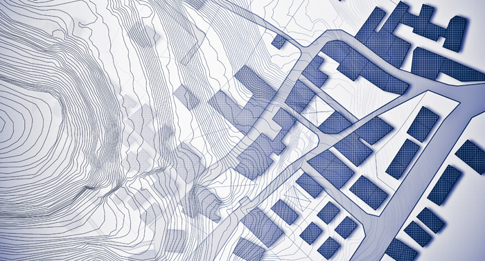
A topographic or topographical land survey shows the height, depth, size and location of any manmade or natural features on a given parcel of land, as well as the changes or contours in elevation throughout the parcel. While boundary surveys focus on horizontal measurements, topographic surveys are about elevation. A topographic survey gathers data about the natural and man-made features of the land, as well as its terrain. Permanent features such as buildings, fences, trees and streams accurately define the ground and its boundaries. The goal of a topographic survey is to locate and map each surface feature of a specific property.
The survey will show the following elements:
- Contours. This line indicates each peak and valley of the land. The contour will show where there’s a significant drop in vertical height. The contractor and surveyor will have a better idea of what they’re dealing with by having this information on hand.
- Physical attributes. Streams, lakes, buildings and improvements will all be identified in the topographic survey.
- Utilities. When accompanies by a survey (closing, boundary, as-built or ALTA). Any manmade utilities are shown in a topographical survey. This might include utility lines, electrical boxes or pipeline markers. The information can then be cross-referenced with any existing plans to identify underground utilities.
In summary, all of this information is key to knowing exactly what is being dealt with prior to embarking a new project.
When is a topographical survey needed?
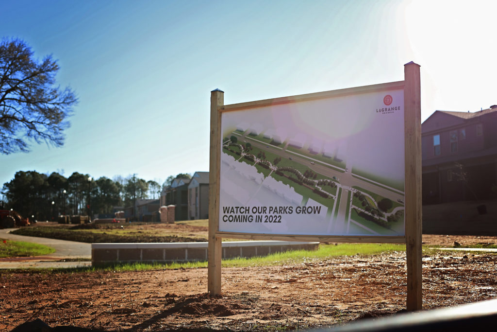
In the construction industry, topographic surveys are essential – especially when the land poses noticeable challenges, i.e. existing man-made structures, a particularly steep grade, or hills left over from a previous construction project. For all of these scenarios, a topographic survey should be produced and consulted before construction begins, so that the proposed building design can be confirmed as workable within the land’s existing conditions.
- New construction
- Remodeling projects to existing structures
- Utility design
- Road or bridge design or improvements
- Grading or drainage projects
How is it conducted?
Topographic surveys use three different methods to produce a topographical map:
- Aerial. LIDAR and UAV photogrammetry technology are utilized to identify the contours of the area.
- GPS. State-of-the-art GPS mapping technologies are an alternative survey method for any areas that aren’t large enough to merit an aerial approach and are free of overhead vegetation.
- Total stations. A field crew will directly map each feature within the project site. This is the most effective option when tree cover blocks other tools or the area requires more detailed information