

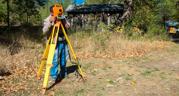
The purpose of a boundary survey is to mark and identify where your property corners are located. Simply put, it shows you where your property begins and ends. When a boundary survey is completed by a professional land surveyor, a drawing is generated to show the results. Property corners are flagged or reset once the survey has been completed and paid for, staking and flagging of the property lines is optional. The boundary survey is based on two key components: land records research and a field survey. Document research includes review of available records including title certificates, deeds, surveys, easements, and subdivision maps. Once the historic boundaries of the property have been identified, the land surveyor will take physical measurements of the site. Both sets of data are then compared to determine if there are any discrepancies.
When Should You Get a Boundary Survey?
A boundary survey is recommended before buying, subdividing, improving, or building on land. Surveying the parcel before these activities ensures that the expense and frustration of defending a lawsuit, moving a building, or resolving a boundary dispute can be avoided. Determining the location of legal land ownership lines may minimize real estate transactional risk and are required by many title and lending companies to minimize risk of their transaction.
What to expect on a Boundary Survey Drawing
Lot dimensions. The property dimensions of a property are obtained from recorded deeds, subdivision plats and survey drawings. They identify the length of the property lines, bearings of the property lines and angular distances between property lines.
Fences. Fences are typically indicators that imply “I own this land because my fence is built on it”. Rarely are fences built right on the property line. Fences are not a good indicator of what land you actually own. The location of anything close to the property line such as fences, retaining walls or landscaping can be shown on the drawing. Just like improvements, these are optional items that can be shown on the drawing.
Easements. Most subdivision plats show easements and building lines on them. Those items are typically shown on the boundary survey drawing. Additional easements may exist on a property. Those easements are commonly listed in the title commitment that was issued when you purchased the property. If a copy of the title commitment is provided to the land surveyor, those additional easements can be shown on the drawing as well.