
The most common type of residential land survey, a closing survey meets the Georgia minimum standard survey requirements, as well as the requirements for most mortgage companies.


Services

LINE/CORNER MARKING
Marking the property lines and/or corners involves the placement of survey markers at property corners with additional markers along the property lines (set at predefined intervals).
READ MORE
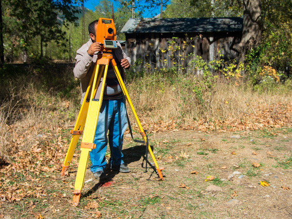
BOUNDARY SURVEY
A boundary survey is recommended before buying, subdividing, improving, or building on land. The purpose of a boundary survey is to mark and identify where your property corners are located.
READ MORE

TOPOGRAPHIC SURVEY
A topographic or topographical land survey shows the height, depth, size and location of any manmade or natural features on a given parcel of land, as well as the changes or contours in elevation throughout the parcel.
READ MORE

AS-BUILT/ALTA SURVEY
Unlike other types of surveys which primarily detail the land itself (often before improvements are made), as-built surveys provide a field documentation of construction and improvements to one or more structures on the land.
READ MORE

CONSTRUCTION STAKING/LAYOUT
Construction Staking, also known as a Site Layout Survey, is the process of interpreting construction plans and marking the location of proposed new structures such as roads or buildings.
READ MORE